2000
The year when AAC was created. The company became the successor of the aerial survey squadron of the Kyiv United Aviation Squadron (one of the five aerial survey enterprises of the USSR). AAC inherited the most important - many years of experience and professional skills of employees who managed not only to preserve and continue the traditions of an aerial survey squadron, but also to organize highly efficient production.
2001
AAC began to perfrom aerial photographing works in Turkmenistan by order of the State Committee on Geodesy, Cartography, and Cadastre, which were carried out annually until 2006. As a result, aerial photography of Turkmenistan was successfully completed on an area of more than 120 000 sq. km.
2002
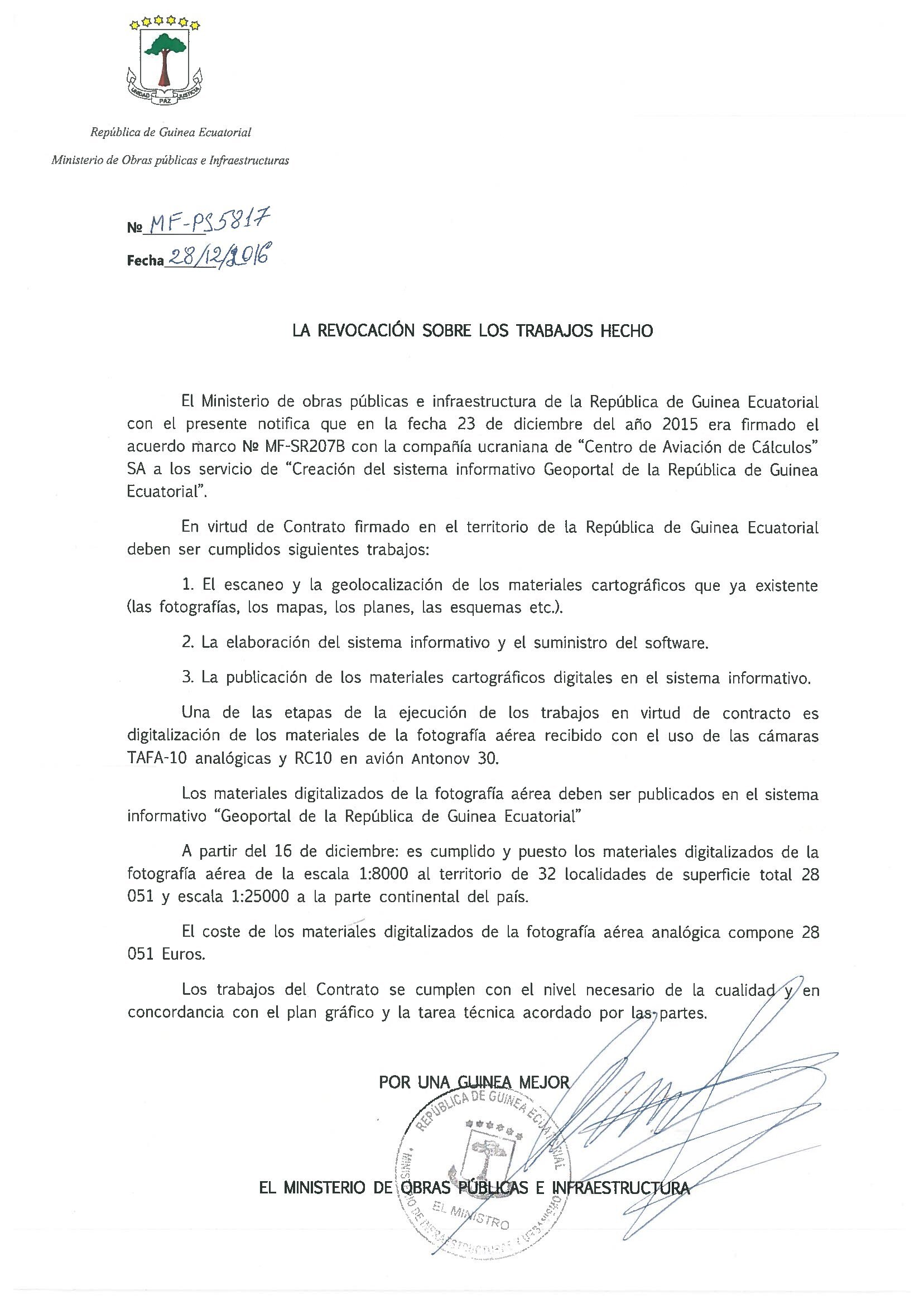
AAC began cooperation with the Republic of Equatorial Guinea. By order of the Ministry of Infrastructure of the Republic of Equatorial Guinea, a first-class geodetic network was created in the country. Aerial photography of the mainland of the country (more than 26 000 sq. km) was carried out for the first time in the country. A topographic map was created at a scale of 1 : 50 000 for the entire territory and a scale of 1 : 2 000 to the territory of 32 settlements of the country.
2006
AAC began to performe topographic and geodetic works for highway certification of Ukraine in Mykolaiv, Kherson regions, and the highway Simferopol-Alushta-Yalta.
2007
AAC carried out technical re-equipment: in order to replace analog aerial photography equipment digital aerial cameras were mastered, an aviation laser scanner was introduced and a high-performance aircraft Beechcraft King Air C-90A was put into operation.
2008
AAC became the only resident company in Ukraine that met all the requirements of the International Bank for Reconstruction and Development for the contractors of the project. Additionally, company won tenders for a full range of works (aerial photography, creation of a digital terrain model and orthophoto, production of a base and index-cadastral map) for the territory of the Autonomous Republic of Crimea (2009 - 2012), as well as for the territory of Donetsk, Dnepropetrovsk, Lugansk, Kharkiv regions (2010 - 2021) due to the technical re-equipment of production and the experience gained.
2009
Based on the gained experience, AAC developed an industry standard for an electronic passport for a highway, SOU 45.2-00018112-038:2009, under which a “Program for the certification of national roads in Ukraine” was developed.
2011
AAC - the first Ukrainian company to win a tender in one of the European countries – in Lithuania, as a general contractor. Consequently, aerial photography works and orthophoto for the entire territory of the Lithuania (65 300 sq. km) were executed in 2012-2013.
2012
AAC began to create aeronautical information (ANI). An electronic database of terrain and obstacles for the entire territory of Ukraine (ICAO region 1) was created. That is necessary for Ukraine to implement ICAO recommendations on the transition to digital technologies for automated management of aeronautical information.
2013
Under the decision of the State Aviation Service, AAC was determined as the official and the only one in Ukraine provider of aeronautical information in the field of creating electronic maps of terrain and obstacles.
2014
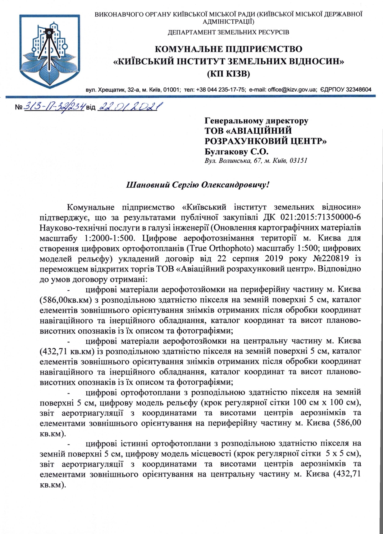
AAC has performed the first time in Ukraine an aerial thermal survey of Kyiv to diagnose the state of heating networks.
AAC executed aerial laser scanning of the country's territory with an area of 13 500 sq. km within the framework of the project of the Norwegian Mapping Authority "Tools for Sustainable Land Management in Armenia" for the first time for the territory of Armenia.
2015
AAC completed aerial photography of about 54% of the territory of Hungary (49 800 sq. km) using the aircraft Beechcraft King Air C-90A, while 3 other’s aircrafts (Cessna 402 and Cessna 404 types) during the same period covered only 46% of the territory.
2016
АРЦ протягом 3 тижнів виконана аерофотозйомка території Казахстану близько 76 тис. кв. км. при наявності всього 13 знімальних днів у календарний період, коли знімальна погода зазвичай відсутня.
2017
AAC successfully passed the audit of the State Aviation Service of Ukraine and became the first in Ukraine certified aeronautical information provider/supplier in terms of providing terrain and obstacle data sets (for the area 1,2,3,4 ICAO) and geodetic information on the territory of airports.
2018
AAC, within the framework of the Norwegian Mapping Authority project "Tools for Sustainable Land Management in Georgia", for the first time in the history of Georgia executed aerial photography of the country's high-mountainous territory with a resolution of 20 cm. As a result of the project more than 44 000 sq. km of the territory of Georgia was covered with aerial photography materials, which was more than 60% of the country's territory.
2019
AAC acted as the general sponsor of the first international conference GEODIGITAL Ukraine 2019, organized by UkrGeo in cooperation with the State GeoCadastre of Ukraine.
2020
AAC together with other UkrGeo participants, created GEOPORTAL UA (geoportalua.com) - an information resource for using geospatial data.


